
 |
 |
Overview
Applications
Downloads/Resources
Overview
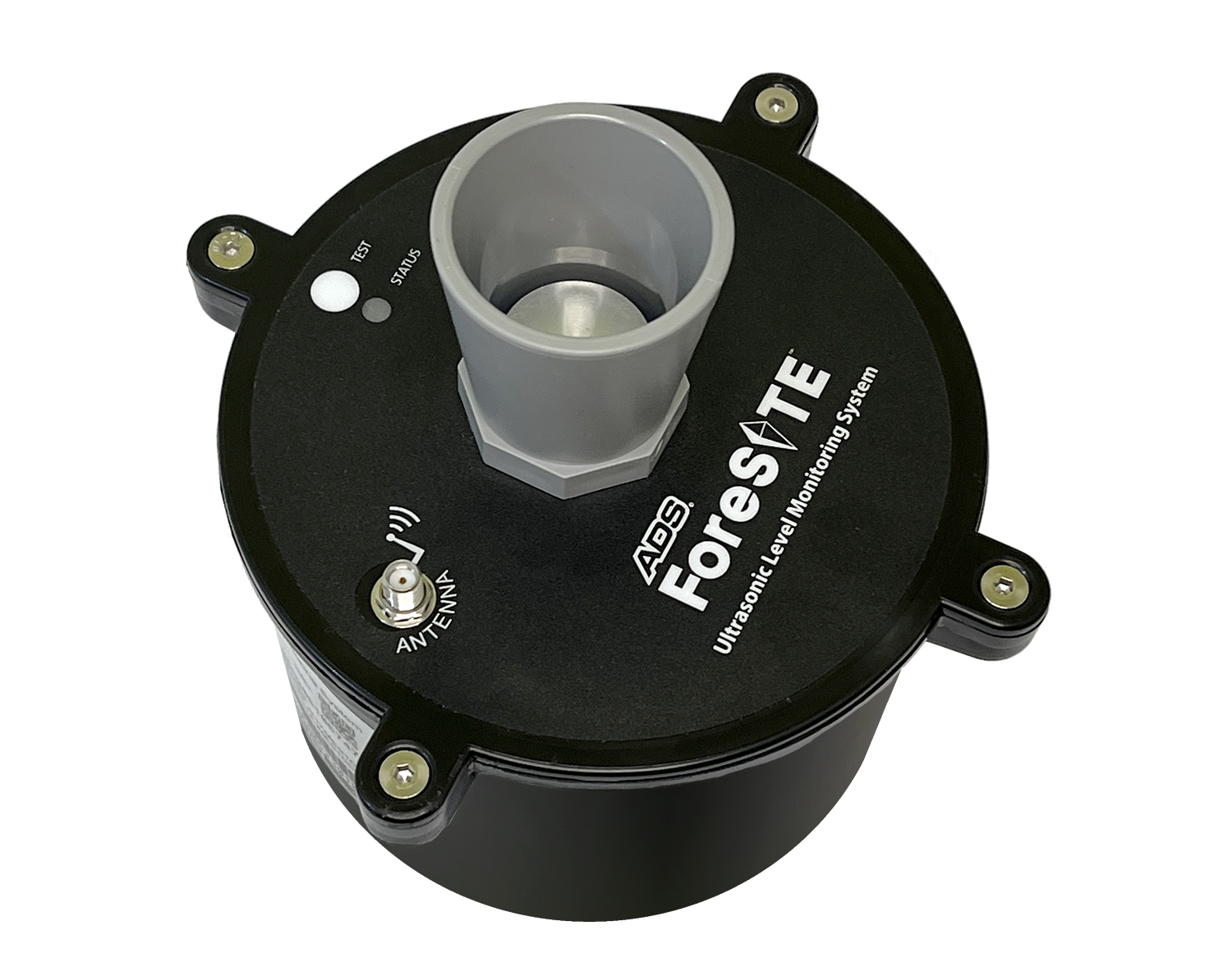
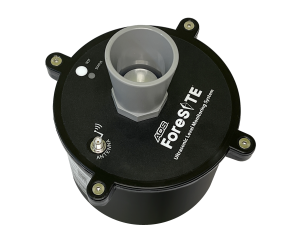
The ADS FS-UL is a level monitoring system for storm and surface water monitoring, measuring water depth with ultrasonic ranging technology. It reliably reads 1.00 ft to 16.33 ft (0.3 to 5.0 m). The system provides both continuous data as well as alarms through its ADS PRISM software.
APPLICATIONS OVERVIEW:
APPLICATIONS OVERVIEW:
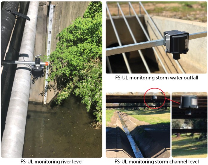
Stormwater – vaults and outfalls
Surface Water – lakes & reservoirs, lagoons, rivers & streams, canals & channels, and tidal gates & structures
Flood-Prone Sites – streets, underpasses, parks, and other flood-prone structures & locations
Irrigation – canals & channels, and flow-control structures
Applications
Flood Control |
||
|---|---|---|
streets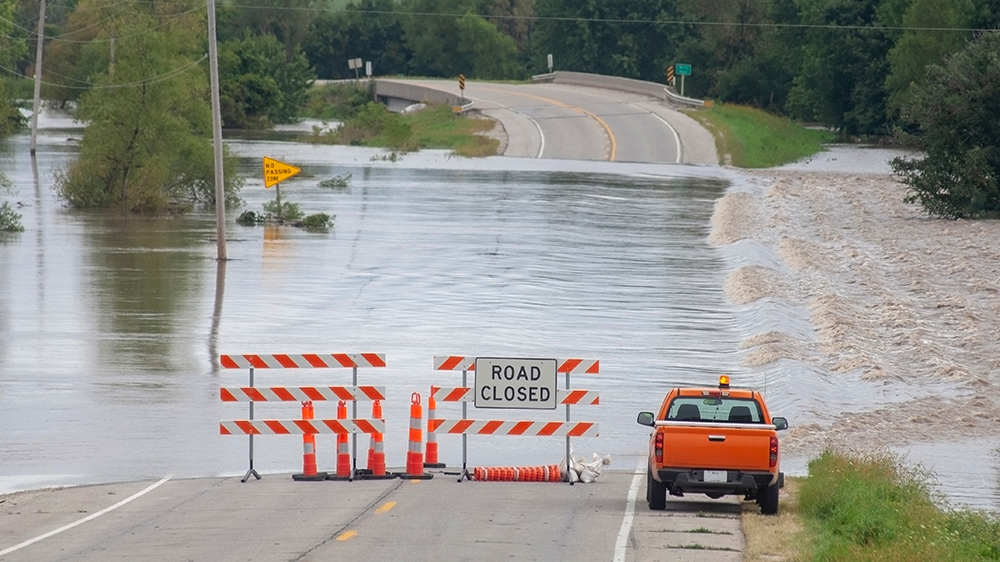 |
underpasses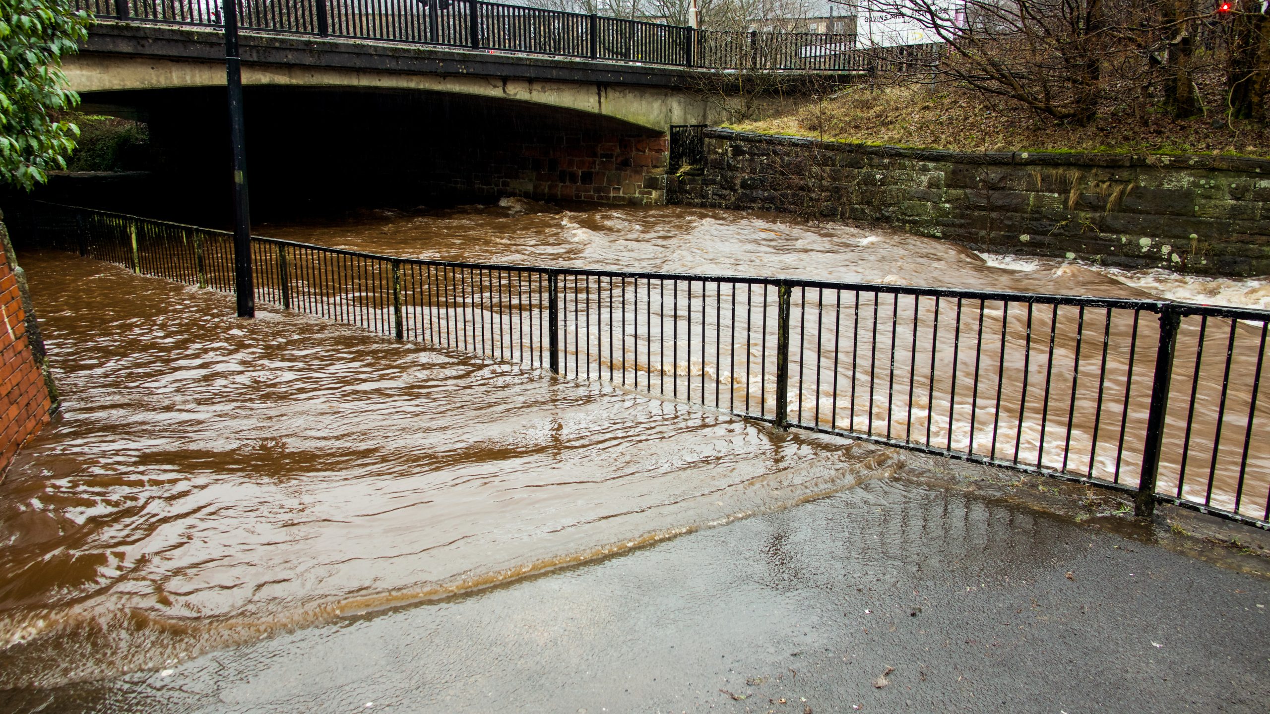 |
parks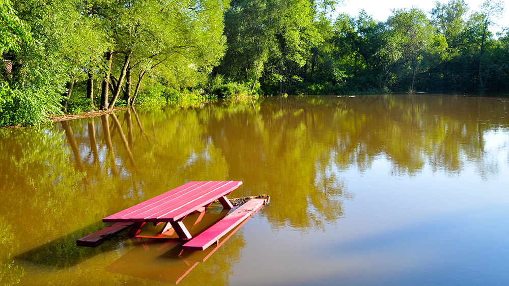 |
Flood Prone Locations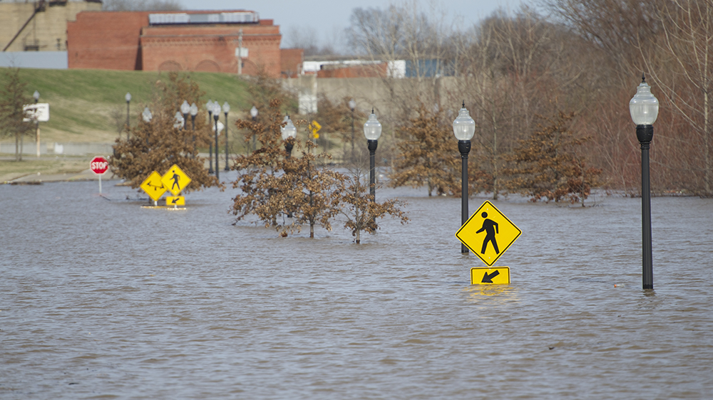 |
||
Surface Water |
||
|---|---|---|
Lakes & Reservoirs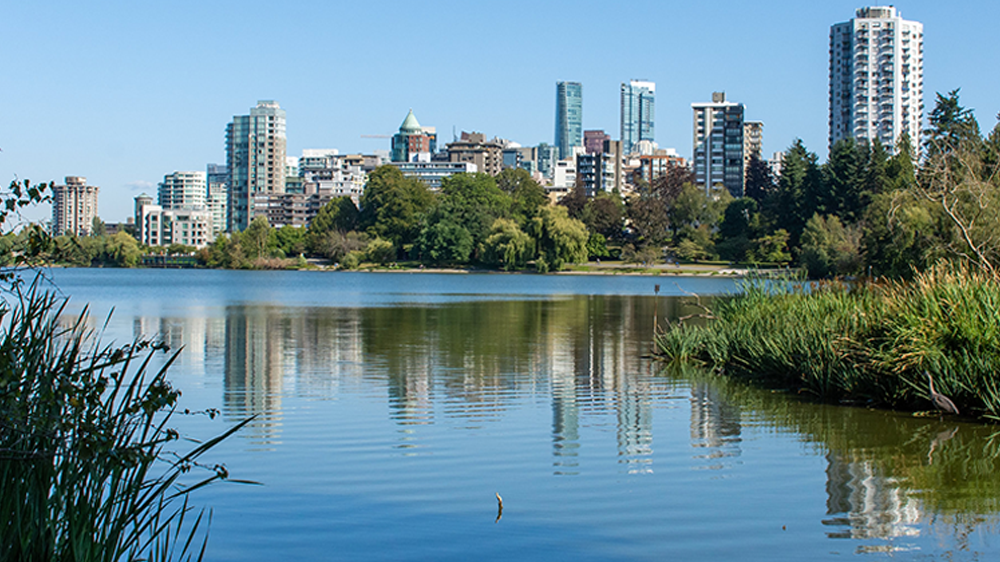 |
Lagoons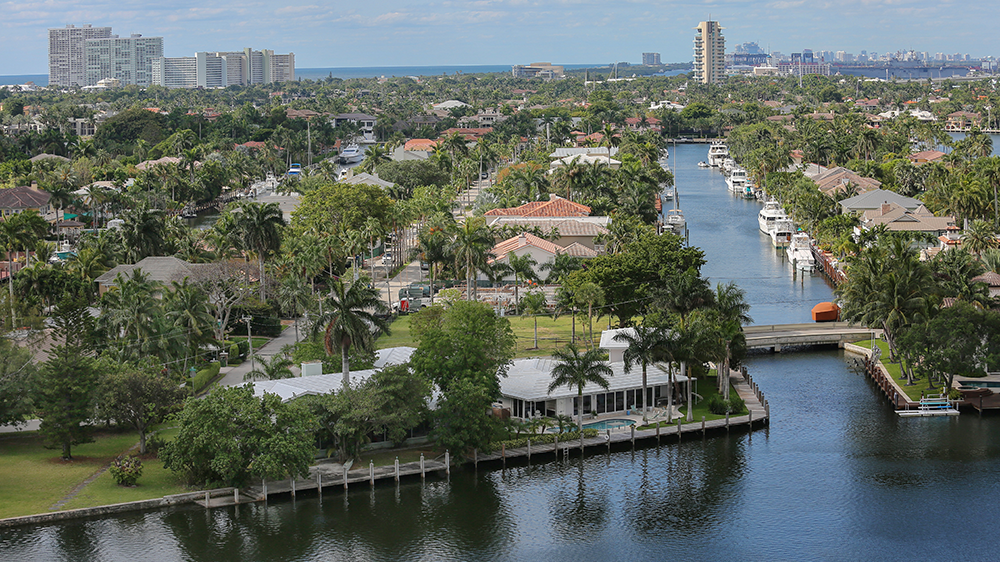 |
Rivers & Streams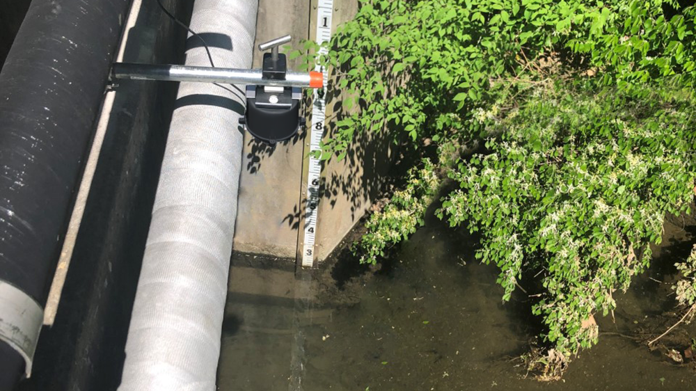 |
Canals & Channels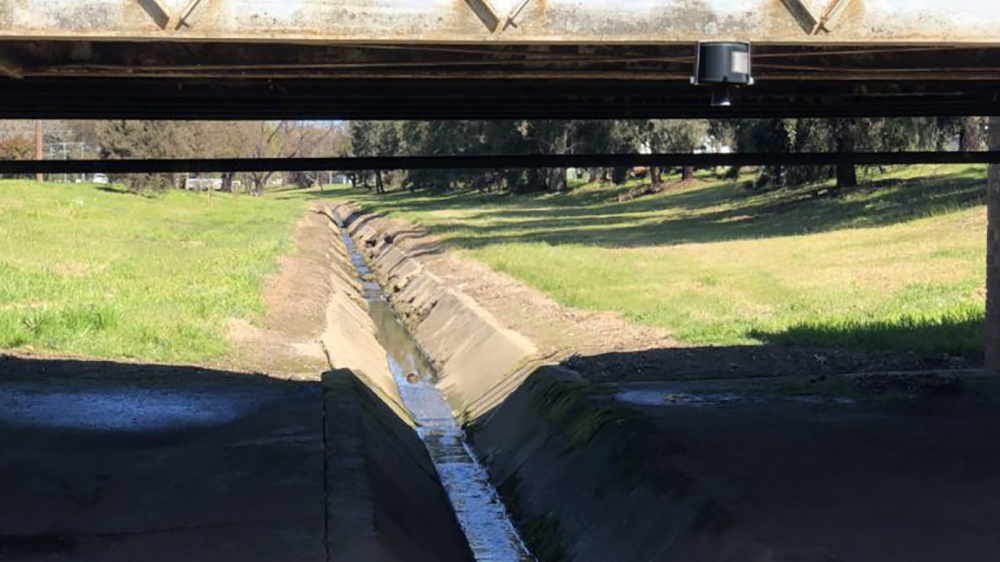 |
tidal gates & structures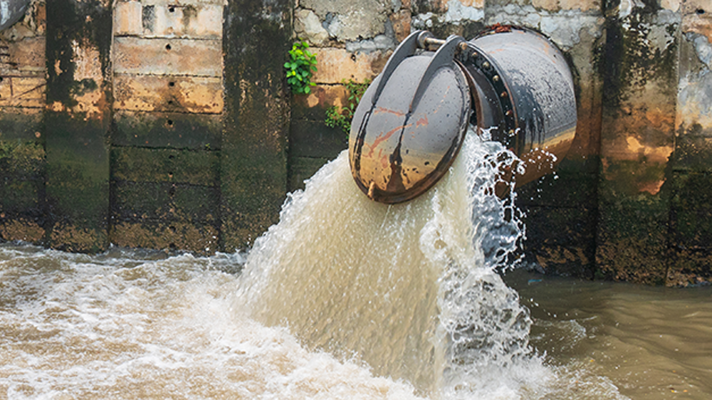 |
|
Storm Water |
||
|---|---|---|
Storm VaultsOutfalls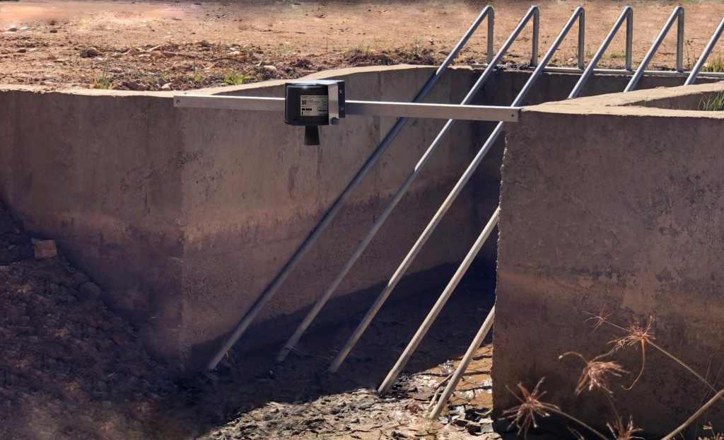 |
||
Irrigation |
||
|---|---|---|
canals & channels |
flow-control structures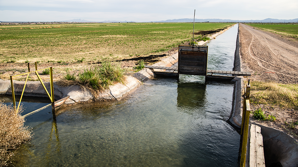 |
|
Downloads/Resources
| Downloadable Resources | |
|---|---|
 |
Datasheet |
 |
Manual |
 |
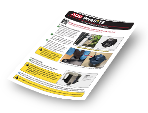
Quick Start & Installation Guide |
Video PlaylistFour-part video series: UNBOX, ASSEMBLE, CONFIGURE, and INSTALL | |
 |
Installation Guide Supplement |
Overview
Applications
Downloads/Resources
Overview
The ADS FS-UL is a level monitoring system for storm and surface water monitoring, measuring water depth with ultrasonic ranging technology. It reliably reads 1.00 ft to 16.33 ft (0.3 to 5.0 m). The system provides both continuous data as well as alarms through its ADS PRISM software.
APPLICATIONS OVERVIEW:
APPLICATIONS OVERVIEW:
Stormwater – vaults and outfalls
Surface Water – lakes & reservoirs, lagoons, rivers & streams, canals & channels, and tidal gates & structures
Flood-Prone Sites – streets, underpasses, parks, and other flood-prone structures & locations
Irrigation – canals & channels, and flow-control structures
Applications
Flood Control |
||
|---|---|---|
streets |
underpasses |
parks |
Flood Prone Locations |
||
Surface Water |
||
|---|---|---|
Lakes & Reservoirs |
Lagoons |
Rivers & Streams |
Canals & Channels |
tidal gates & structures |
|
Storm Water |
||
|---|---|---|
Storm VaultsOutfalls |
||
Irrigation |
||
|---|---|---|
canals & channels |
flow-control structures |
|
Downloads/Resources
| Downloadable Resources | |
|---|---|
|
DatasheetDownload |